40 brilliant open data projects (and how they’re redefining smart cities)
In honor of New York City’s Open Data Week 2017 we’ve compiled a resource featuring 40 smart, data-driven projects reminding us of open data’s value.
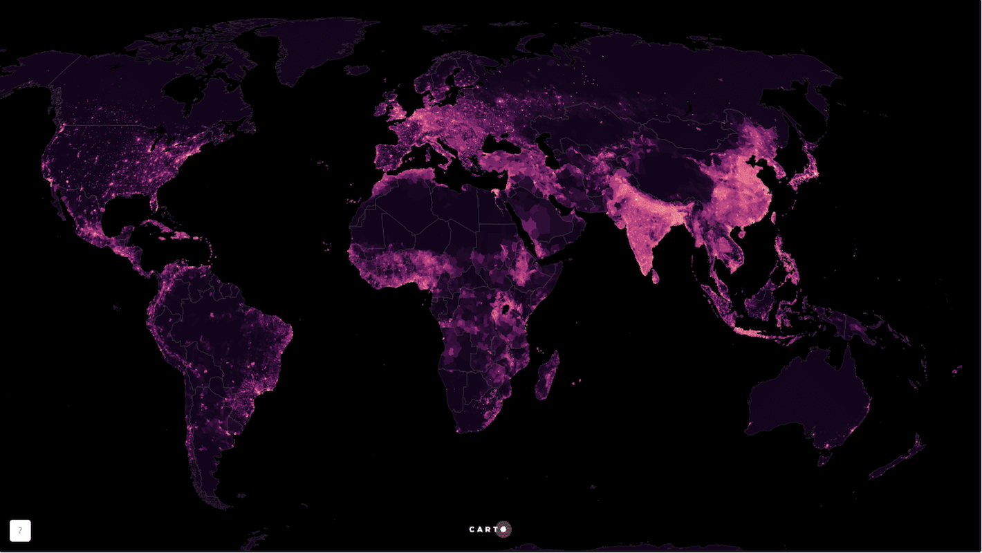
The rate of urban migration around the world is rising at an alarming rate. Experts estimate that 70 percent of the world’s population (more than six billion people!) will reside in urban areas by 2050. In response, government officials are investing in data sharing technologies to discover ways to provide public services more efficiently.
This form of city planning has invariably been described as “smart”, “intelligent”, “responsive”, “resilient”, and, more recent, “senseable”. But how do these initiatives use open data to address the concerns of residents? In answering this question we discovered projects whose originality left us speechless and dedication to social justice inspired.
Navigating open data source
Building an open data portal is expensive, and returns on this investment can be difficult to measure. To ensure citizen engagement with open data portals city officials and third party partners are designing constituent-centric interfaces and applications. Here are our favorite web and mobile applications designed to help citizens navigate open data.
If you’re looking to get started with open data, then Dat is the place to start! Dat is an open sourced, decentralized data sharing tool trying to do for open data what Git did for source codes. Check it out!
LocalData is a mobile application allowing community groups to participate in open government data planning. In Detroit, for example, community groups surveyed city streets to collect data in areas needing infrastructural renovations, which exemplifies one way that open data projects can engage city residents.
The Open Data Impact Map is a geospatial platform identifying communities around the world engaged in open data projects. If you’re looking for inspiration on what to do with open data, then check it out!
OpenGrid, an interactive map platform, is raising situational awareness for Chicagoans. Residents can easily search curated datasets, including those provided by the City of Chicago, and visualize the results on an interactive map.
Tel Aviv’s Resident’s Card App allows residents to customize their interactions with local officials by opting to receive real time updates from city services of interest.
SmartAppCity uses a Public-Private Partnership framework to encourage local businesses in Madrid, Spain to participate in city-wide open data initiatives by sharing their data in the city’s open data portal
Conclusion
A 2016 Digital Citizen Survey found that since 2014 United States citizens’ expectations for digital government services have increased 15 percent, and satisfaction with current services during this same two year span doubled.
Data-smart city planning is here to stay, and we’re excited to support these important initiatives that make meaningful use of open data.
Did we miss a great project using open data? Connect with us on Twitter, Facebook, or LinkedIn and let us know!

Autor: Devon Hopkins, Director of Content Marketing de Carto.

